PITTSBURGH — Showers and thunderstorms will impact your plans during the day Tuesday.
>>Track the rain & storms here
A Flash Flood Warning is in effect for the following areas:
- East Central Westmoreland County, Southeastern Armstrong County and Indiana County until 7:15 p.m.
- West Central Forest County, Northeastern Mercer County, Central Venango County and Northwestern Clarion County until 8:45 p.m.
- Southeastern Westmoreland County until 9:15 p.m.
A Flood Watch is in effect for the entire area until 10 p.m.
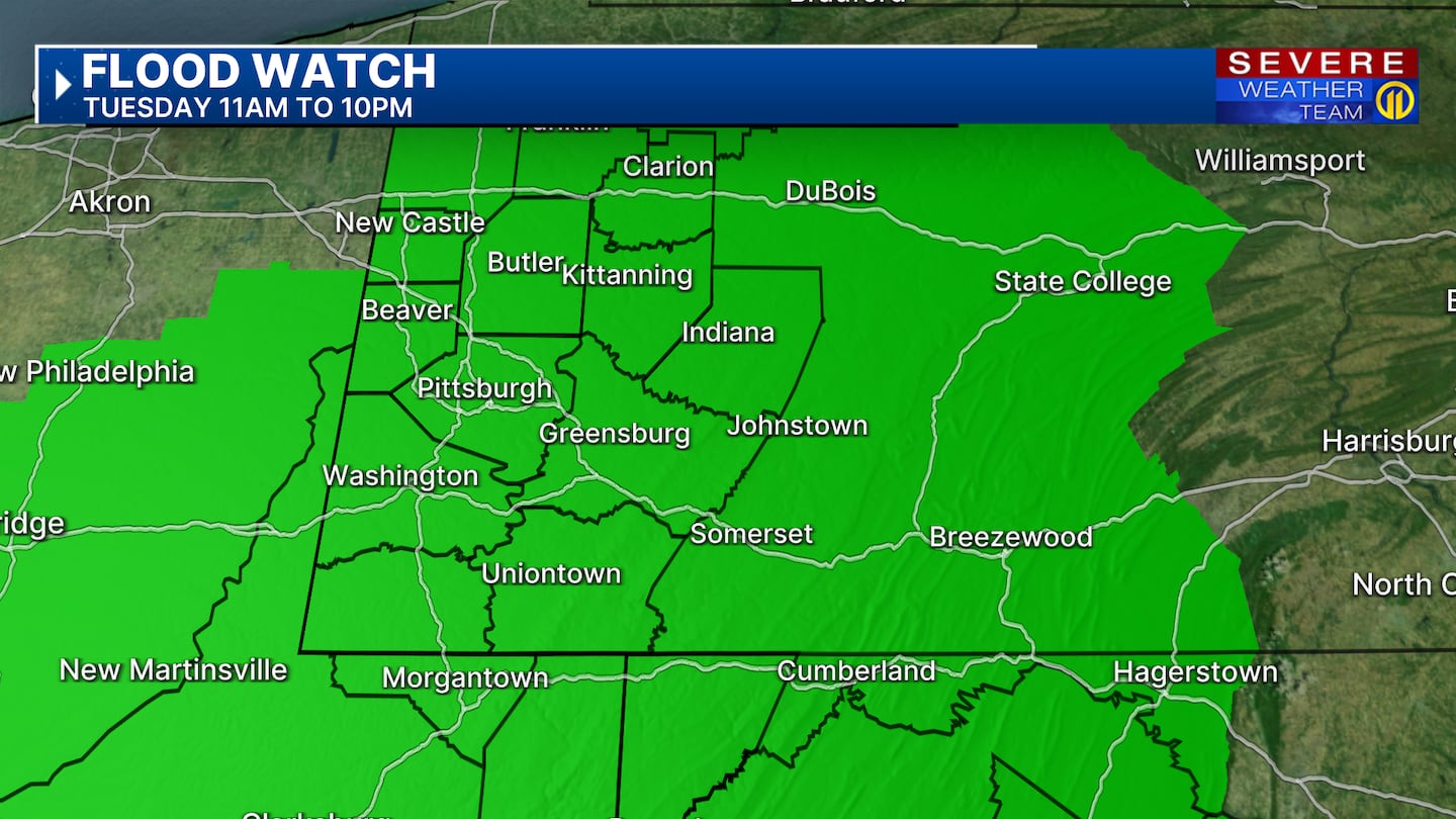
Heavy downpours remain a concern this evening, given previous rainfall and the copious amounts of moisture in the air. Coverage of storms should wind down after sunset, although we may see another uptick in rain late into the night and into Wednesday morning. Watch for flooding, especially if heavy rain occurred earlier.
The good news is that most of Wednesday should be dry once we get past the morning. However, an approaching cold front may bring more showers and storms late Wednesday night, but with a higher chance on Thursday. Strong storms are possible, but flooding will remain the primary risk.
Finally, a prolonged spell of dry weather will return this weekend and into early next week as a ridge of high pressure takes control of the northeast. Our first heat wave of the year is possible with highs forecast to reach near 90 by Sunday.
Stay weather alert throughout the week with live updates in every newscast and the Severe Weather Team 11 App when you can’t be in front of your TV.
Download the FREE WPXI News app for breaking news alerts.
Follow Channel 11 News on Facebook and Twitter. | Watch WPXI NOW
©2025 Cox Media Group
/cloudfront-us-east-1.images.arcpublishing.com/cmg/XCUXZC2XYZHCRGNNGKFEX6U3LQ.png)